You are here
1944 World War Ii Atlas Of Burma Myanmar For Army Use 93 Huge Maps Rangoon China
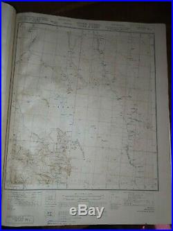
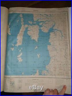
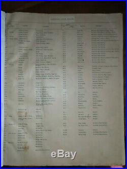
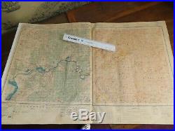
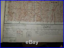
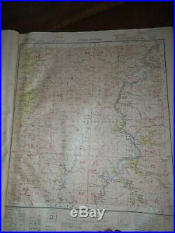
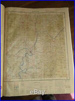
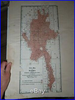
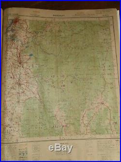
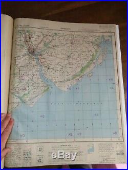


I have here for sale a UNIQUE atlas, being a bound up compilation of 93 maps of Burma Myanmar in the later years of World War II - FOR OFFICIAL USE ONLY. The maps are not folded - so presumably printed up and bound up immediately for the use of the army during the war against the Japanese. Hand typed Index listing all 92 maps with Sheet number, Name, and District. This Index is typed on the rear of Magwe, Minbu and Thayetmyo Districts One Inch 84 Second Edition. Followed by 92 Quarter Inch Maps of the various districts of Burma from the Thai border in the South to the Chinese border in the north. Assam Banmauk Singkaling Hkamti, Akyab, Mount Victoria, Mawlaik, Myohaung, Magwe, Pagan, Wntho, Sagaing, Shwebo, Meiktila, Kyaukpyu, Mindon, Cheduba, Bassein, Gwa, Thaytemyo, Henzada, Prome, Pyindaye, Myitkyina, Maing Kwan, Katha, Bhamo, Northern Shan States, Southern Shan States, Mandalay, PEgu, Toungoo, Amherst, Thaton, Mergui, Tavoy.
The maps all state that they are referred to as HIND 1095, and then Sheets 84 up to 102 with various letters following. I think that the whole of Burma is covered - please let me know if you want me to check if a particular map is included. Example: 91L Assam, Burma, China and Tibet Quarter Inch First Edition, Sadiya Frontier Tract, Putao District, Tribal Area, Szechuan, Yunnan, Dayul, Nuchugiu Provinces - Survey HQ, Burma Command - Seasons 1912-13, 1919-20 - Mean Magnetic Declination 0.45 (in 1917).
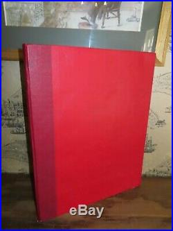
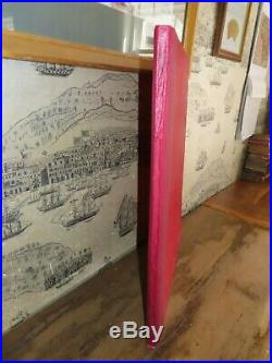
The maps have various dates on them, depending on when they were surveyed, and when the map was printed - some of them go up to 1946 but the majority are before then. The book is bound in red hardboards with red linen spine covering, 59 cm x 47 cm. We wrap and post the parcels on Monday and Tuesday - therefore if you pay before midday on Tuesday we will get it in the postal sacks on Tuesday night, and if it is after that time then it will go into the postal service on the following Monday. The item "1944 WORLD WAR II ATLAS of BURMA MYANMAR for ARMY USE 93 HUGE MAPS RANGOON CHINA" is in sale since Sunday, June 30, 2019. This item is in the category "Books, Comics & Magazines\Antiquarian & Collectable".
The seller is "antiquarianbooks-uk" and is located in Whitegate, Cheshire. This item can be shipped worldwide.
- Non-Fiction Subject: Geography
- Year Printed: 1944
- Binding: Hardback
- Original/Reproduction: Original
- Region: Asia
- Author: Burma Myanmar Rangoon
- Original/Facsimile: Original
- Language: English
- Special Attributes: Illustrated

