You are here
1942 Wwii Puerto Rico Military Road Map Restricted Army Engineer Original
Posted Mon, 08/17/2026 - 13:31
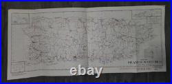
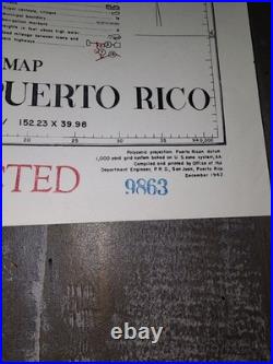
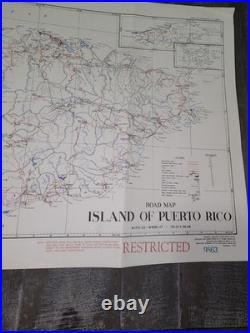
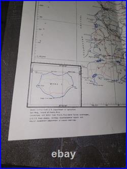
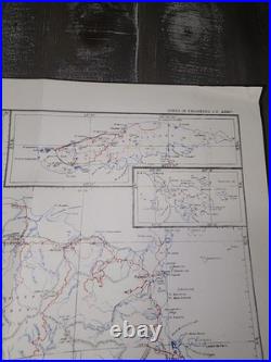
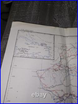
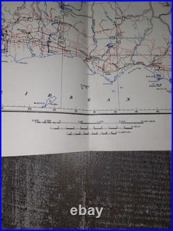

This historic document was compiled and printed in December 1942 by the Office of the Department Engineer, P. This rare map features a prominent red "RESTRICTED" security stamp, a 1,000-yard polyconic grid system, and a detailed inset of Mona Island. It vividly documents WWII-era coastal defenses, infrastructure, and active bases including Losey Field. Publisher: Office of the Department Engineer, San Juan, P.
Format: Panoramic style strip map. Dimensions: Approximately 12 inches by 28 inches. The paper remains remarkably crisp with absolutely no pinholes or seam splits. It features original storage creases from folding, minor corner creasing/bending on two corners, and a small area of light staining in the top right quadrant. Please review the high-resolution photos closely to inspect these authentic details. Perfect addition for collectors of Caribbean history, WWII militaria, or vintage military cartography.